

Route Garachico
Garachico: Splendor under the volcano
Presentation
This route explores the municipality of Garachico from its coastal area to the mountain tops with special emphasis on those places which best represent the value of its heritage and landscapes.
Places of interest
LA CALETA DE INTERIÁN
Location: Interián Street (junction with the road from Icod de los Vinos to Buenavista del Norte, TF-42)
Tel:
HACIENDA LA QUINTA ROJA
Location: Main road from Icod de los Vinos to Buenavista, TF-42. Garachico
Tel:
Centre belonging to the Tenerife Rural Quality Network.
Route points
/
{"playlist":[{"title":"THE EMIGRANT’S VIEWPOINT","artist_name":"","audio_file":"https:\/\/rutasteneriferural.com\/wp-content\/uploads\/2022\/09\/01-mirador-y-monumento-del-emigrante_WWLQ.mp3","poster_image":"https:\/\/rutasteneriferural.com\/wp-content\/uploads\/2022\/07\/0DSC_0109Reducida.jpg","duration":"0:49","playlistid":"playlistid-1"}]}
The Emigrants' Viewpoint and Monument are situated close to the fishing harbour of Garachico. The monument was built in homage to the thousands of Canarians who were forced to leave home for America in search of work and prosperity. It was erected by the Asociación los Chicharros Mensajeros in 1990 and is the work of the sculptor Fernando Garciarramos. It consists of a 2-metre high sculpture in bronze and a stone plaque commemorating the waves of emigration.


/
{"playlist":[{"title":"HISTORICAL CENTRE OF GARACHICO","artist_name":"","audio_file":"https:\/\/rutasteneriferural.com\/wp-content\/uploads\/2022\/09\/02-casco-historico-de-garrachico_RzV4.mp3","poster_image":"https:\/\/rutasteneriferural.com\/wp-content\/uploads\/2022\/07\/0DSC_0017Reducida.jpg","duration":"2:06","playlistid":"playlistid-2"}]}
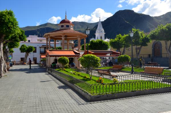
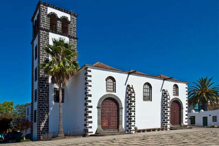
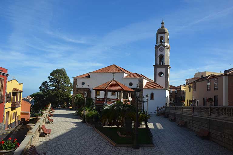
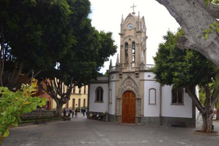
The origins of Garachico go back to the years immediately after the Conquista (arrival of the Spanish) of the Island, the person who founded it at the end of century XVth being the Genovese, Cristóbal de Ponte.


/
{"playlist":[{"title":"SAN JUAN DEL REPARO AND GARACHICO VIEWPOINT","artist_name":"","audio_file":"https:\/\/rutasteneriferural.com\/wp-content\/uploads\/2022\/09\/03-san-juan-del-reparo-y-mirador-de-garachico_eT0y.mp3","poster_image":"https:\/\/rutasteneriferural.com\/wp-content\/uploads\/2022\/07\/2DSC_0073Reducida.jpg","duration":"2:16","playlistid":"playlistid-3"}]}
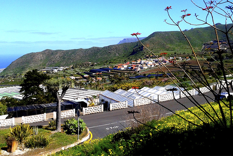
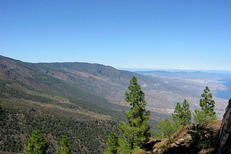
San Juan del Reparo is a small suburb of the municipal area of Garachico situated in the middle slopes. Its main economic activity continues to be farming, devoted mainly to self-sufficiency, displaying beautiful countryside with smallholdings and traditional buildings. The crops in this area, in contrast to those grown down on the coast and destined for export, were kept to be consumed by the farming families themselves.


/
{"playlist":[{"title":"ARENAS NEGRAS","artist_name":"","audio_file":"https:\/\/rutasteneriferural.com\/wp-content\/uploads\/2022\/09\/04-arenas-negras_D8W6.mp3","poster_image":"https:\/\/rutasteneriferural.com\/wp-content\/uploads\/2022\/07\/0DSC_0188Reducida.jpg","duration":"0:54","playlistid":"playlistid-4"}]}
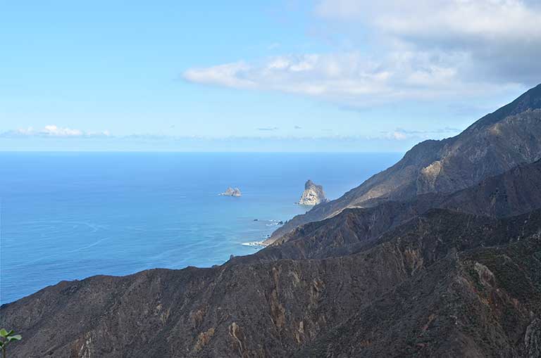
Arenas Negras ("Black Sands") is a natural site situated within the Chinyero Volcano Special Nature Reserve. At this spot you will find a recreational area and footpaths that lead towards Chinyero, or Arenas Negras' own volcano, also known as Trevejo Mountain. This mountain is famous for its role in the volcanic eruption of 1706 that swept away the harbour and a considerable part of the town of Garachico. Here we have a landscape, almost sandy, hence the name, of obvious volcanic origin where a granular black soil predominates, contrasting vividly with the green of the pine forest. Various footpaths run across this zone allowing visitors to walk around and discover the places where the main eruptions in recent times have taken place on Tenerife.


